Our Mission
At Stellerian, we're enabling the in-space economy. Stellerian will become the new standard for safer and more robust satellite navigation systems, transforming the future of space operations and infrastructure.
Autonomous navigation for unmanned spacecraft
Long & short-range target tracking solutions
Synthetic images and digital twins for space operations
Performance Metrics
Our cutting-edge computer vision technology delivers industry-leading results, enabling the future of in-space operations with proven capabilities.
Range Accuracy
Commercial LOIs
Technology Readiness Level
Facilitating Spacecraft Operations with Advanced Onboard Navigation
Stellerian's proprietary software and sensors build on the latest developments in Artificial Intelligence/Computer Vision, Advanced Optical Navigation, and High Fidelity Dynamic Models.
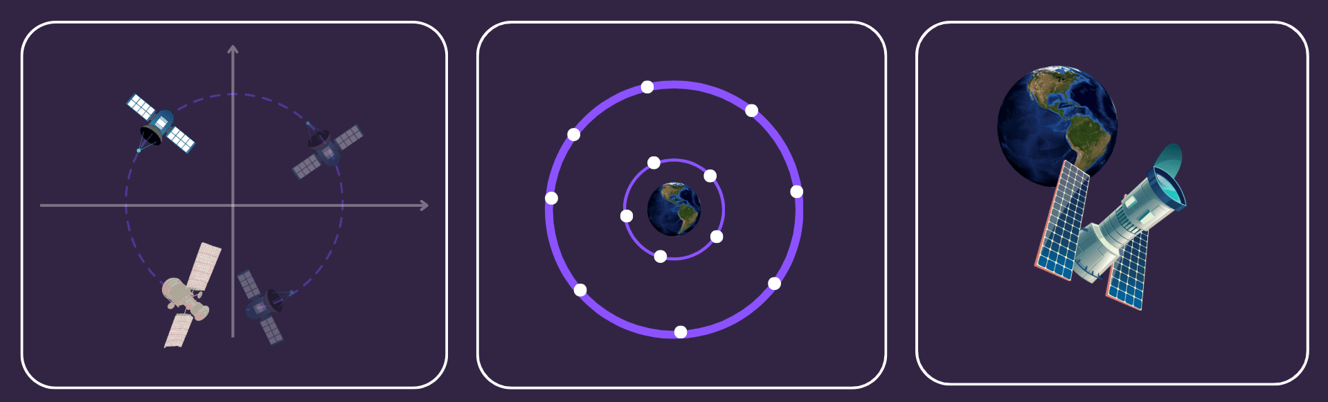
Relative Navigation and Tracking
Always know the location of your target satellite, voluntarily or not
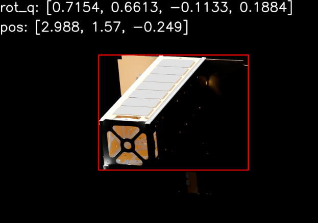
Pose Estimation
Autonomously determine the relative position and orientation of your intended spacecraft
Spacecraft Inspection
No matter the space-fairing object, be equipped to perform on-board inspection or feature mapping
Docking Automation
From kilometers away to the final meter, have dependable in-space command and control
Proximity Operations
Advanced GNC and coordination, critical for the safety and success of space missions
Formation Flying
Save costs on constellations with precise chief/chaser measurements
See Our Technology in Action
Watch demonstrations of our cutting-edge software capabilities that are redefining space operations.
ACECam Hardware Add-On
Overview of the ACECam hardware technology that supports our AI-powered software.
Synthetic Imagery Generation
Demonstration of our advanced synthetic imagery capabilities for space environment simulation.

Relative Proximity Operations
See how our RPO software enables precise navigation for spacecraft servicing missions.
Ray Tracing Simulation
Advanced ray tracing demonstration for realistic space environment rendering.
Our Partners
Working together with industry leaders to advance space technology and operations


Latest Updates
Loading latest update…
Subscribe to Updates
Stay informed about our latest developments, technology breakthroughs, and partnership announcements.